|
|
|
 |
|
|
|
|
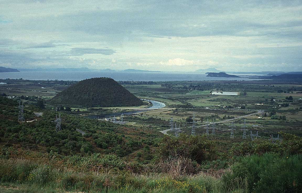
New Zealand lies in the
south-west Pacific Ocean, 1,600 km east of Australia. It is
made up of the North and South Islands and a number of
smaller islands, with a total land area of 268,000 sq km
New Zealand is the most geographically isolated of all
countries. Its closest neighbour, Australia, is 2,000 km to
the northwest of the main islands across the Tasman Sea. The
only landmass to the south is Antarctica, and to the north
are New Caledonia, Fiji, and Tonga. |
|
|
Because of this geographical isolation, New
Zealand was one of the last parts of the world to be occupied
by humans. In contrast to Australia, the people considered to
be indigenous, the Māori, only arrived themselves from
Polynesia around 1300AD, just a few hundred years before
settlement by Europeans. A good place to start to understand
the history of conflict between Māori and Europeans is the
Waitangi Treaty House in the Bay of Islands (open from 9am
daily except Christmas Day).
The country has a high
standard of living with GDP per capita estimated at
$24,100.
The population now is mostly of European
descent, with Māori being the largest minority.
Where
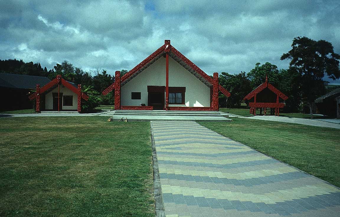
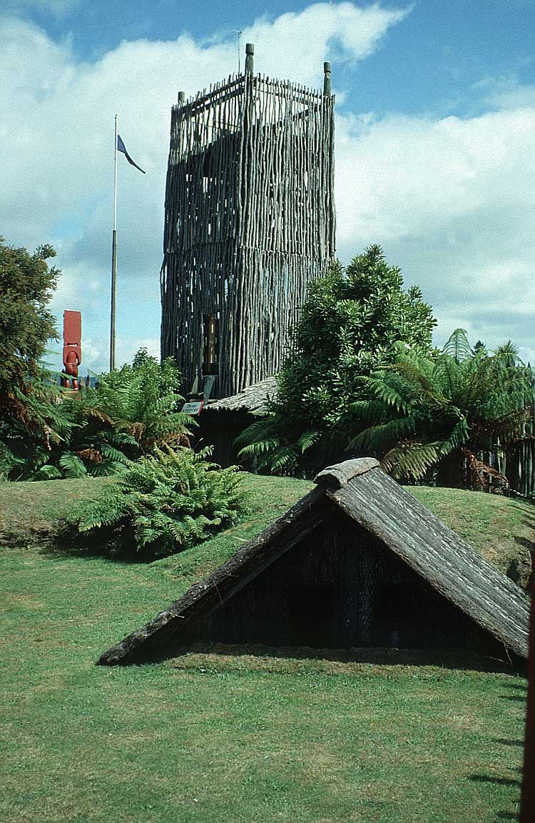
to go and what to see in North Island:
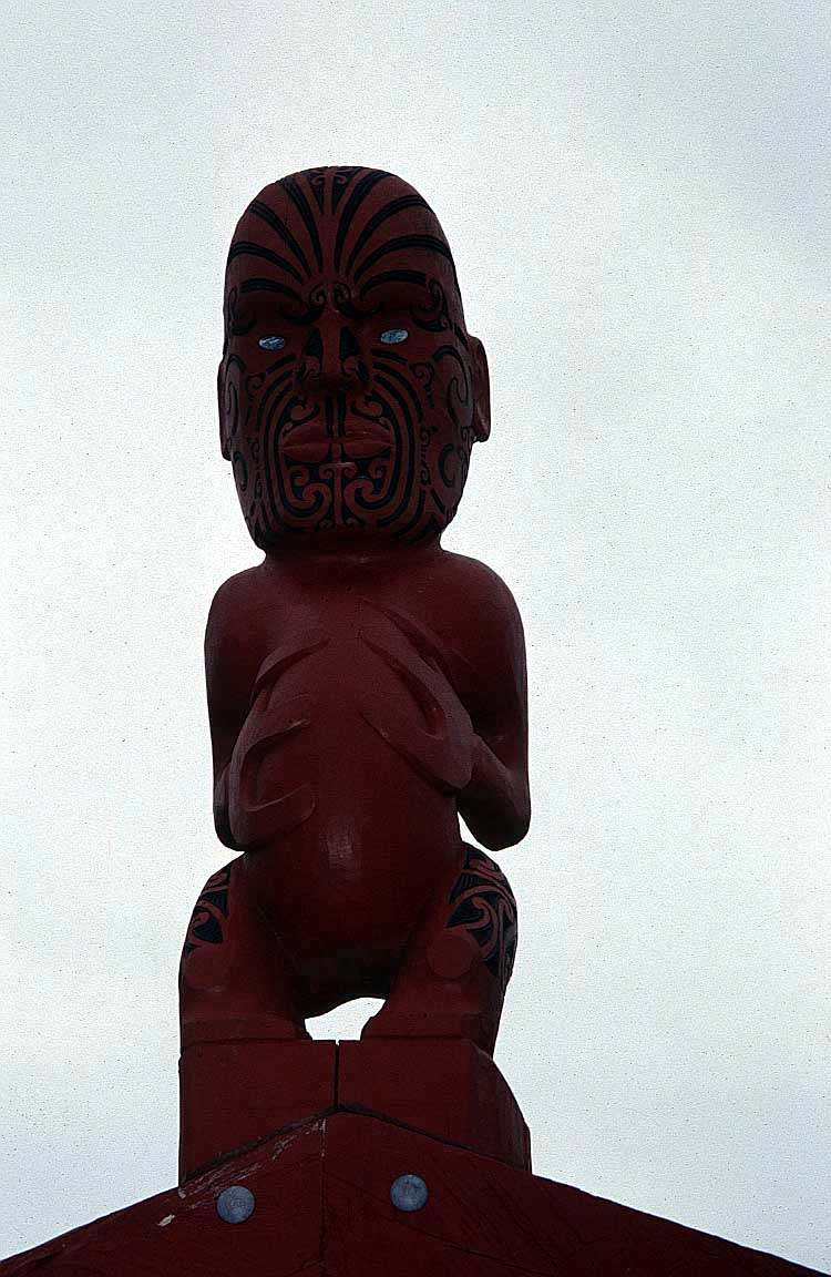
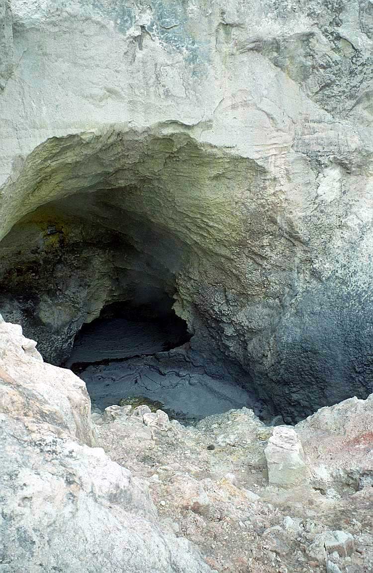
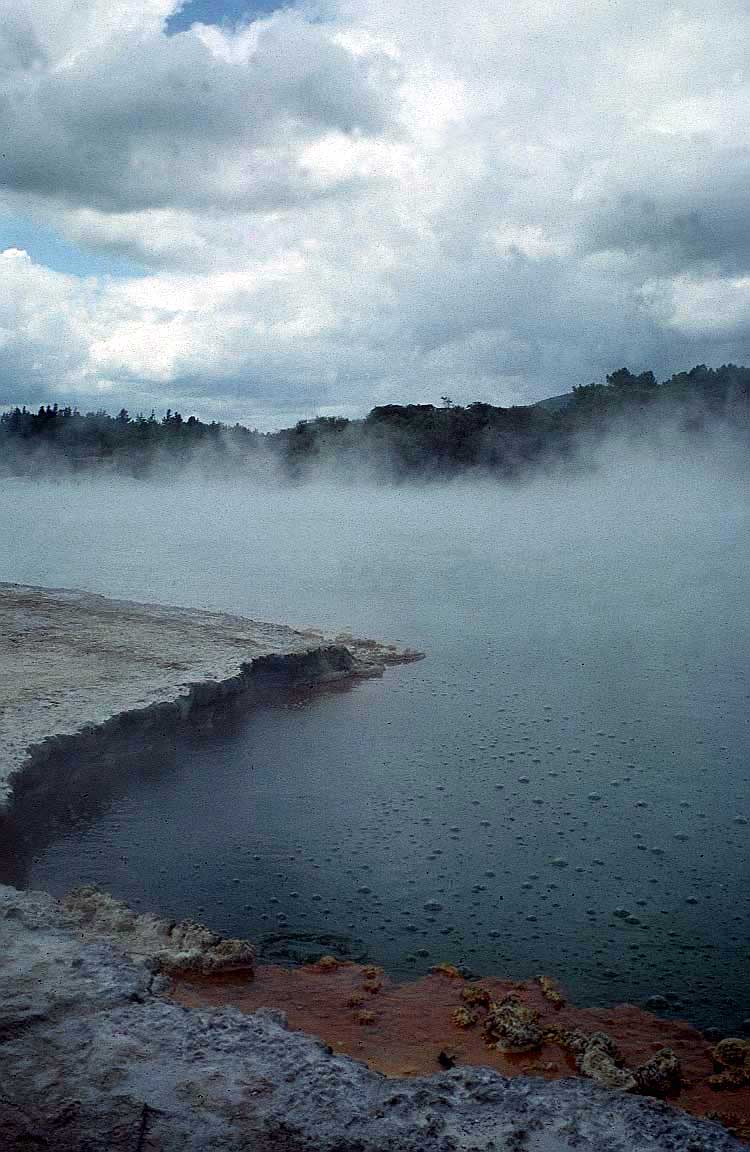
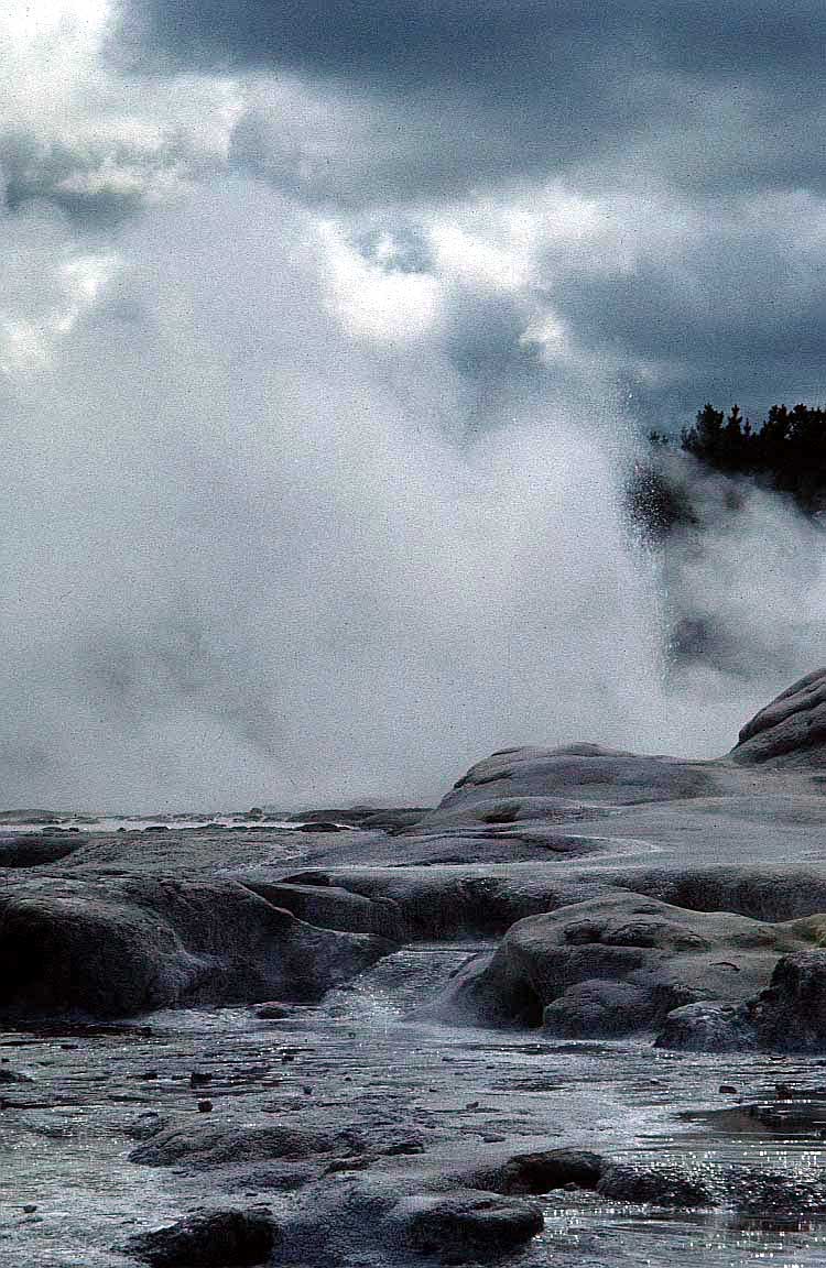
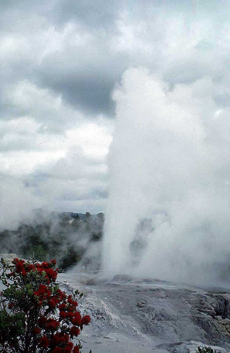
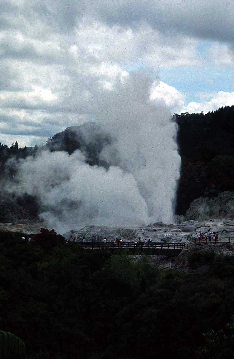
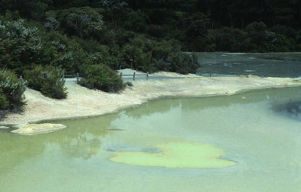
The North Island is where Māori culture is most visible, and
if you visit Rotorua, 230km (130 miles)
south of Auckland, you can combine an introduction to the
indigenous people with an experience of the geothermal
activity of hot mud pools and geysers at Whakarewarewa
village.
|
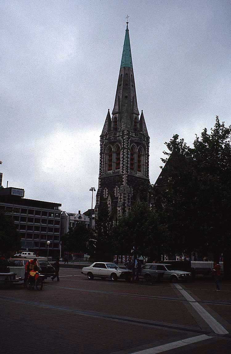
(Ironically, the tourist attraction of
geothermal sights and smells has also had its downside in
terms of natural disaster: in 2011 and 2012 Christchurch, on
South Island, suffered a series of big earthquakes that
destroyed over 1,000 buildings, including the magnificent
cathedral, in the most European-style city in New
Zealand.)
Napier is an attractive art
deco city which owes its architectural beauty to an
earthquake in 1931, which resulted in a complete re-build in
the fashionable architecture of the
period.
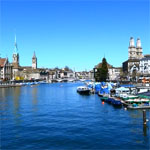
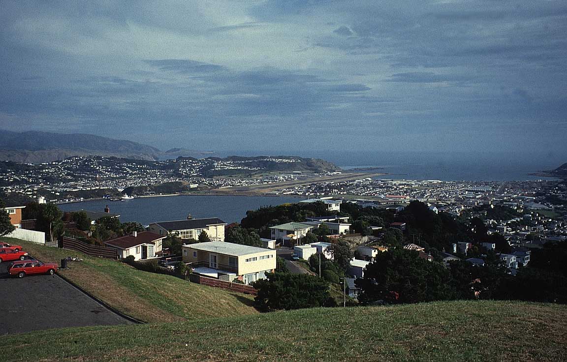
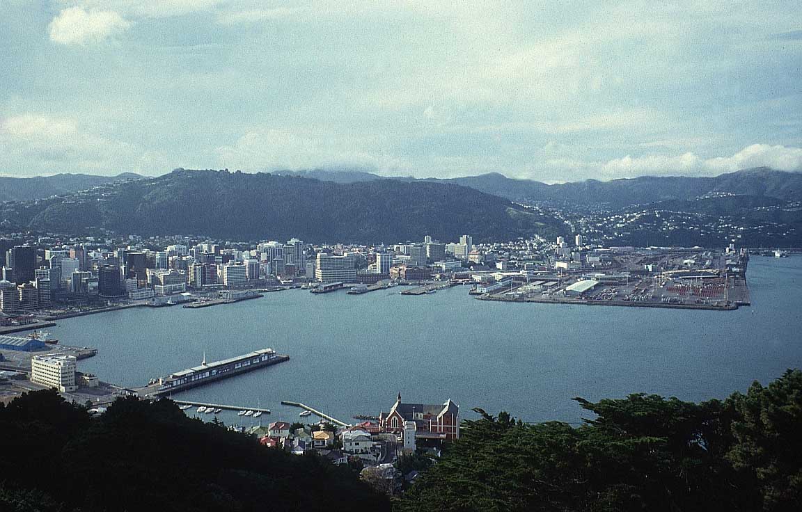
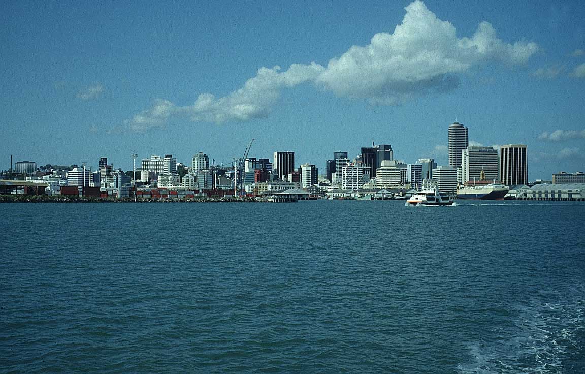
Wellington, the second largest
city after Auckland, is the capital.
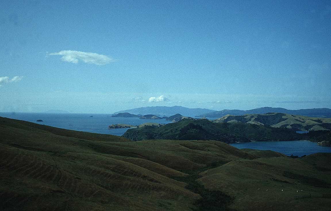
The Bay of Islands,
in the extreme north of North Island, is magical for boating
and sea fishing. Take the “Cream Trip” excursion to visit some
of the islands.
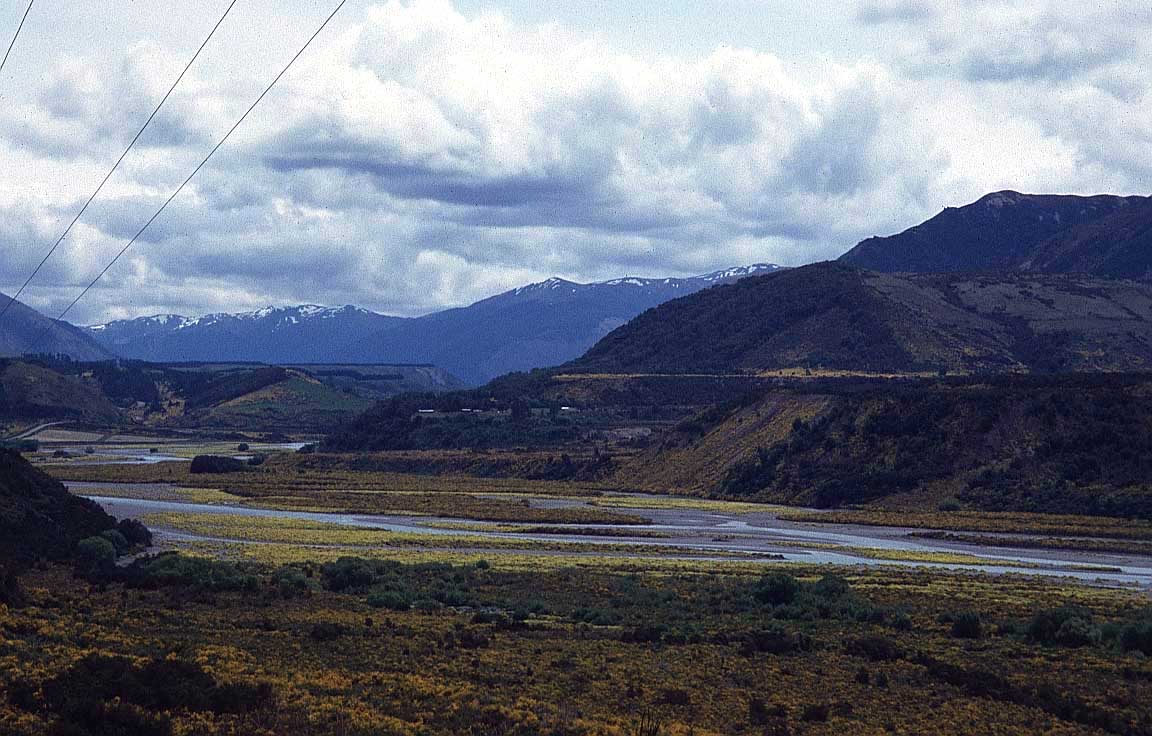
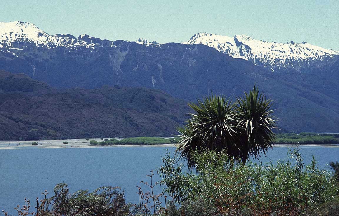
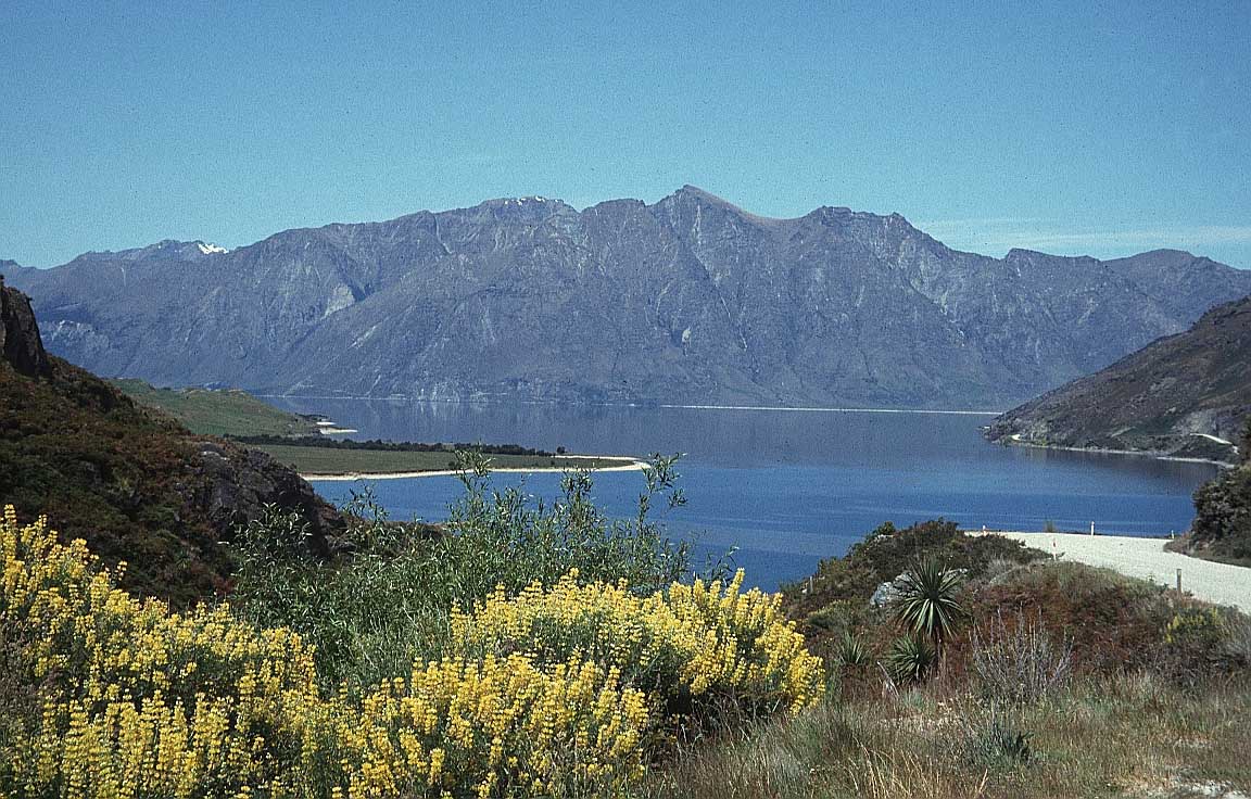
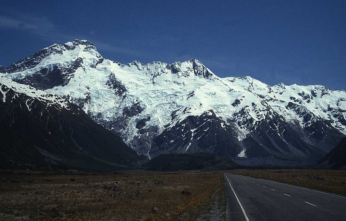
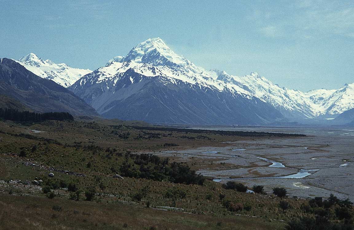
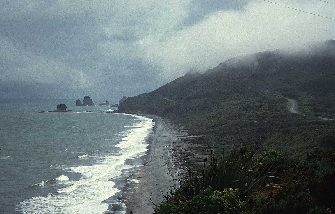
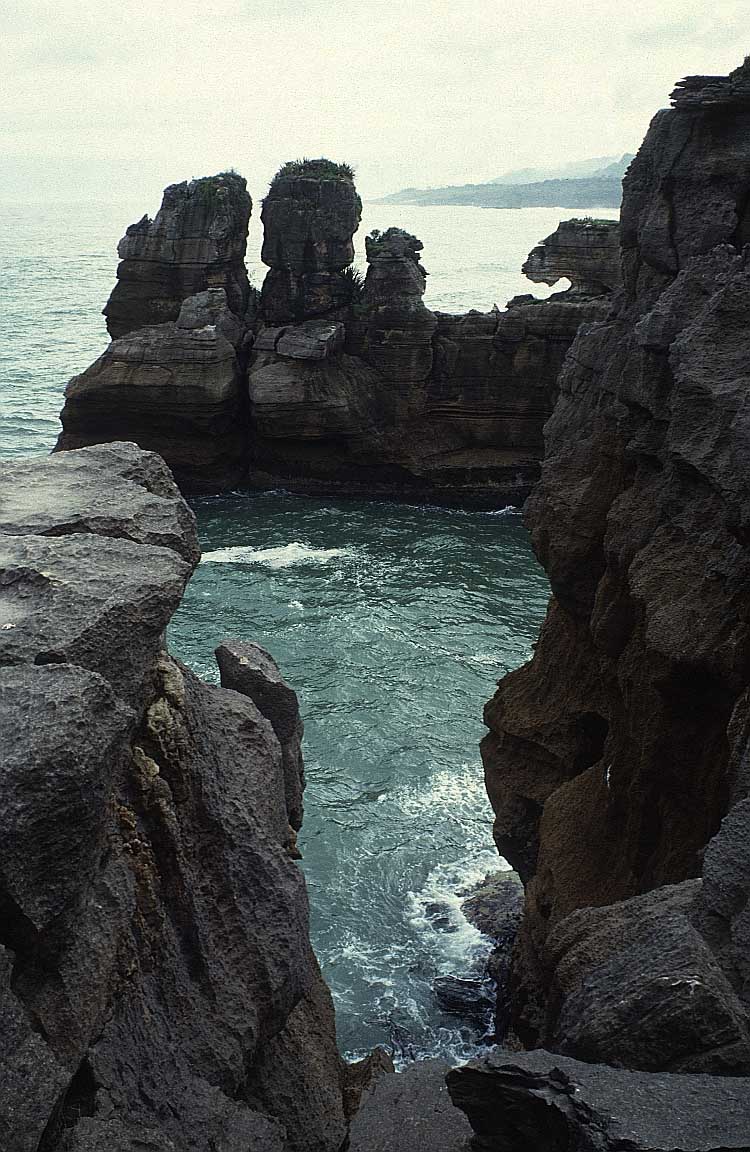
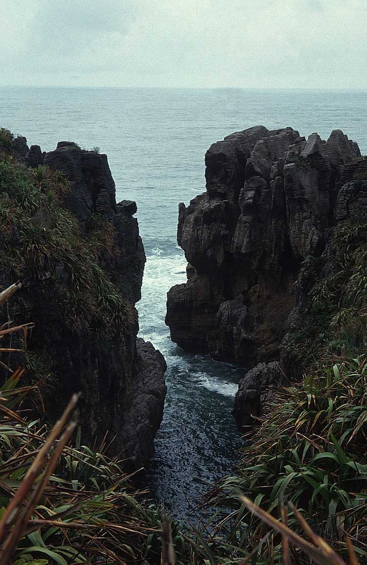
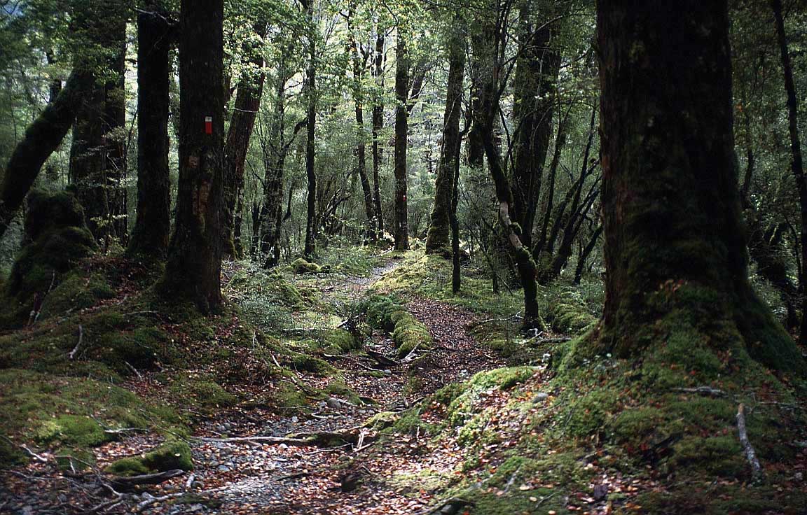
The South Island is the largest land
mass, and is divided along its length by the Southern Alps.
The dramatic and varied landscape of New Zealand has made it
a popular location for the production of television programmes
and films, including the Lord of the Rings trilogy.
Where to go and what to see in South
Island:
Marlborough, the
principal wine region of New Zealand, is the first area you
pass through after crossing from North Island. There are
plenty of wine tours and tastings on offer.
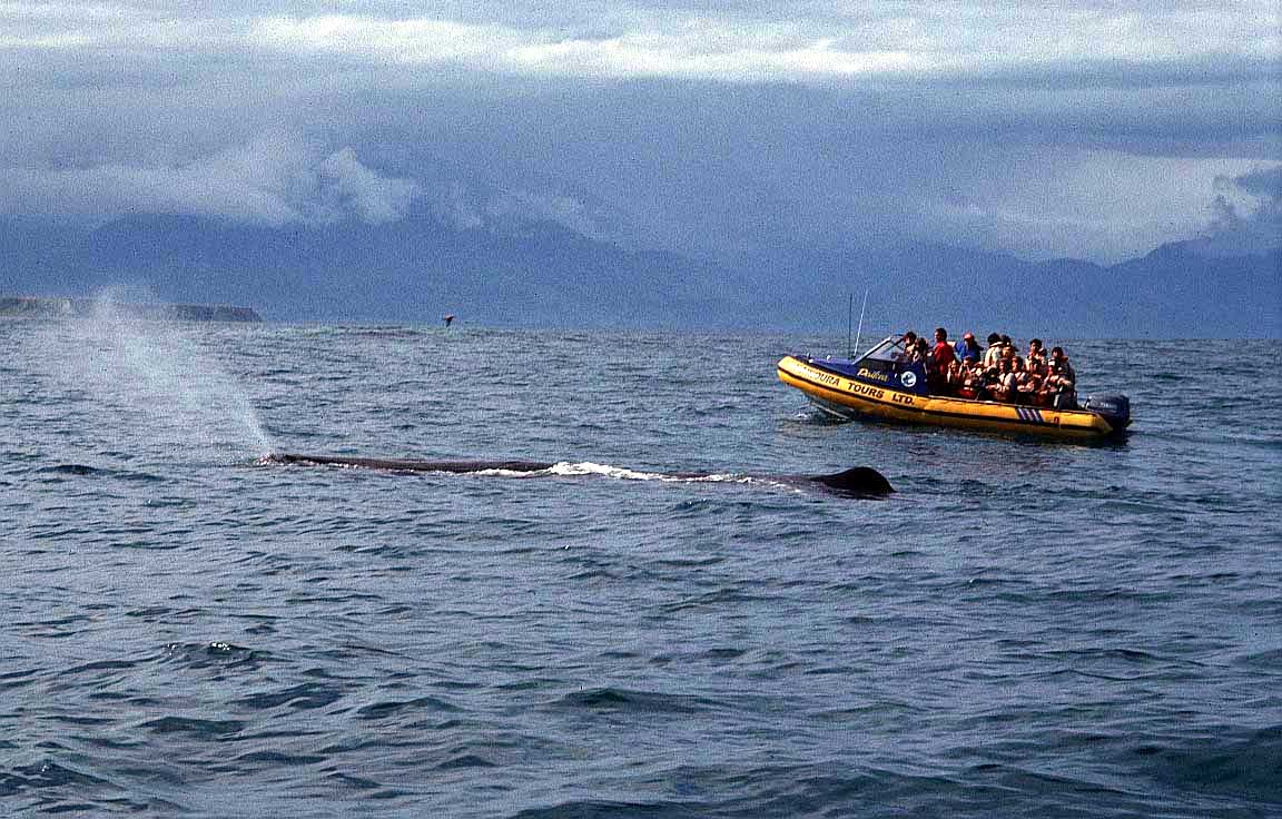
For whale and
dolphin watching, head for Kaikoura on the east
coast.
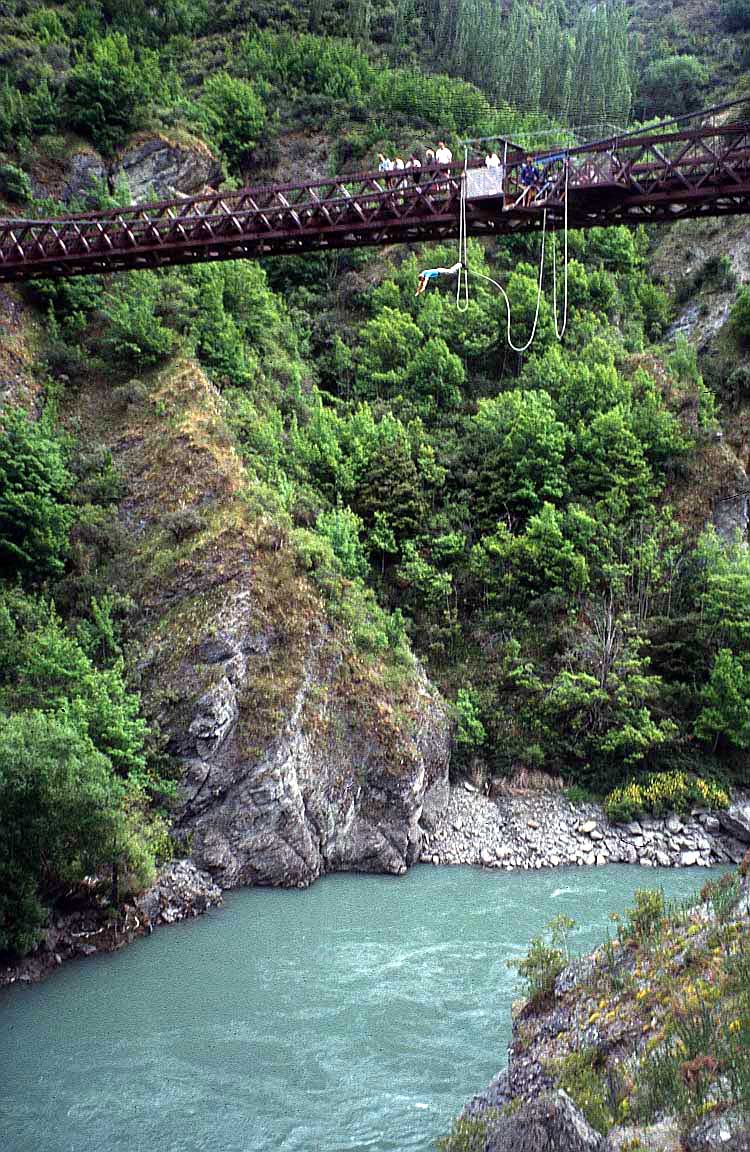
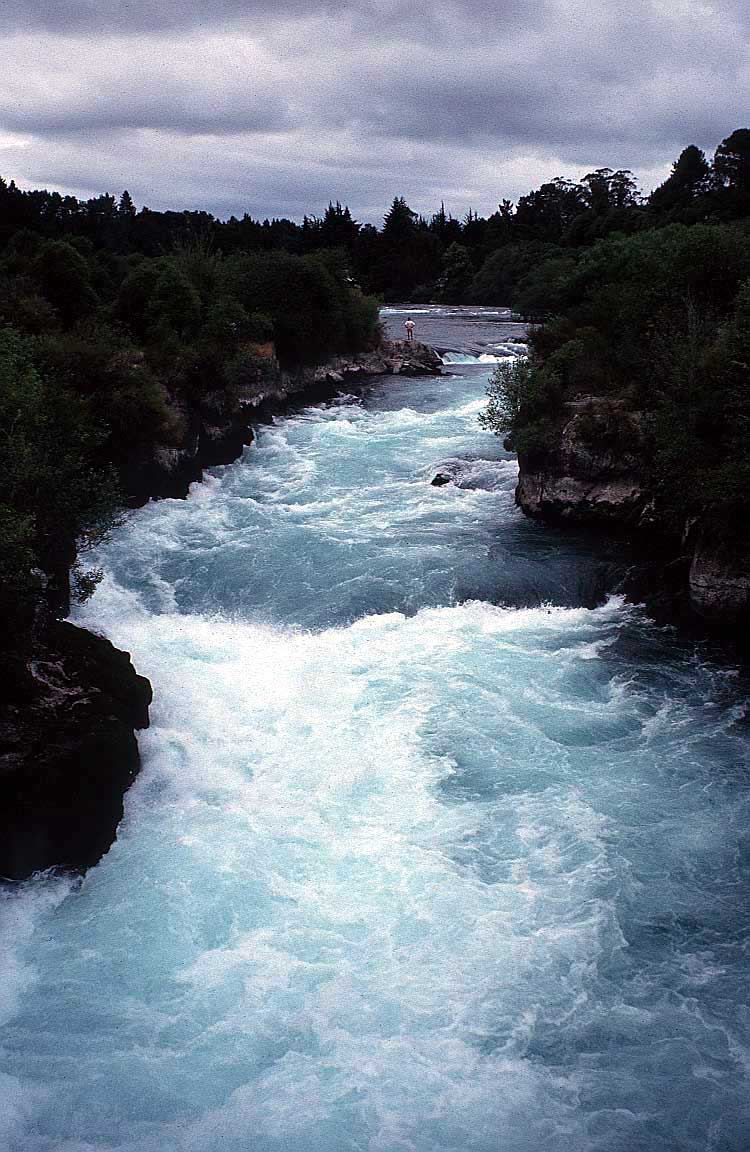
Queenstown is the place for extreme
sports like bungy jumping and white-water rafting.
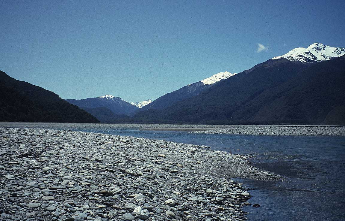
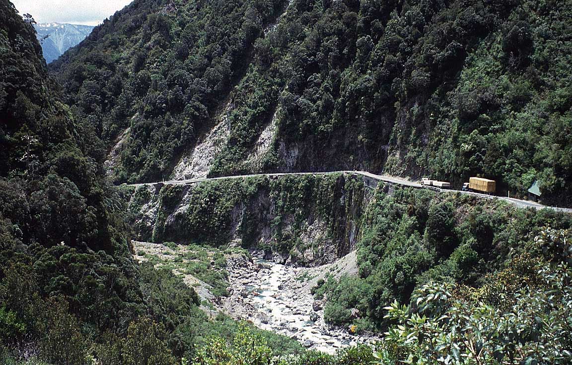
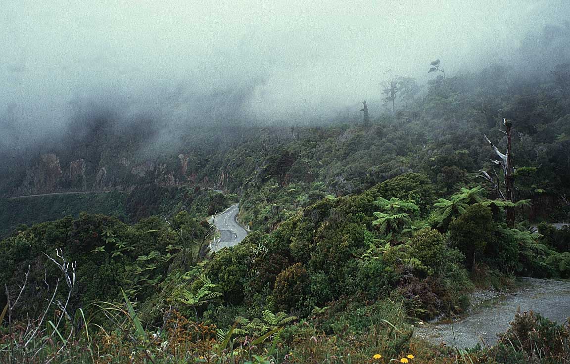
Arthur’s Pass, (elevation 920 metres) is accessible by train
or car, and offers superb walks and a visitor centre.
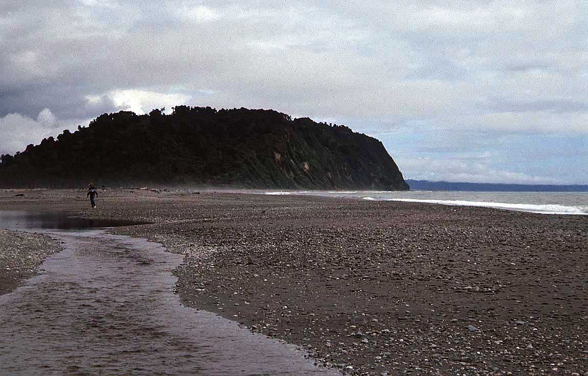
The
two glaciers on the west side are Fox Glacier and Franz Josef
Glacier.
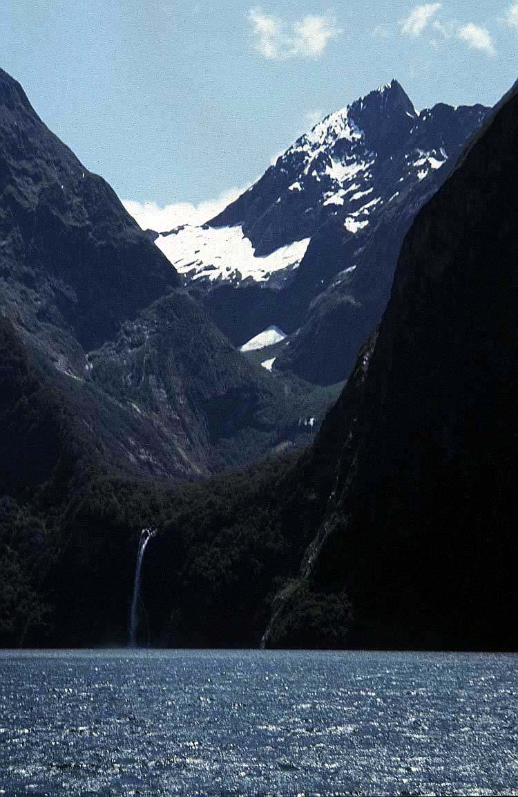
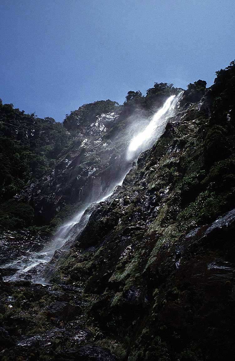
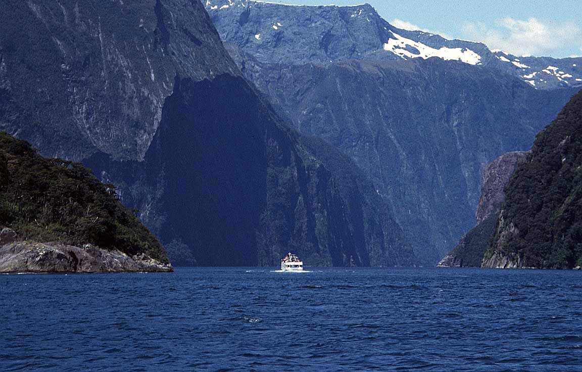
Further to the south west are two fiords which
could be the highlight of any visit to South Island, Doubtful
Sound and Milford Sound.
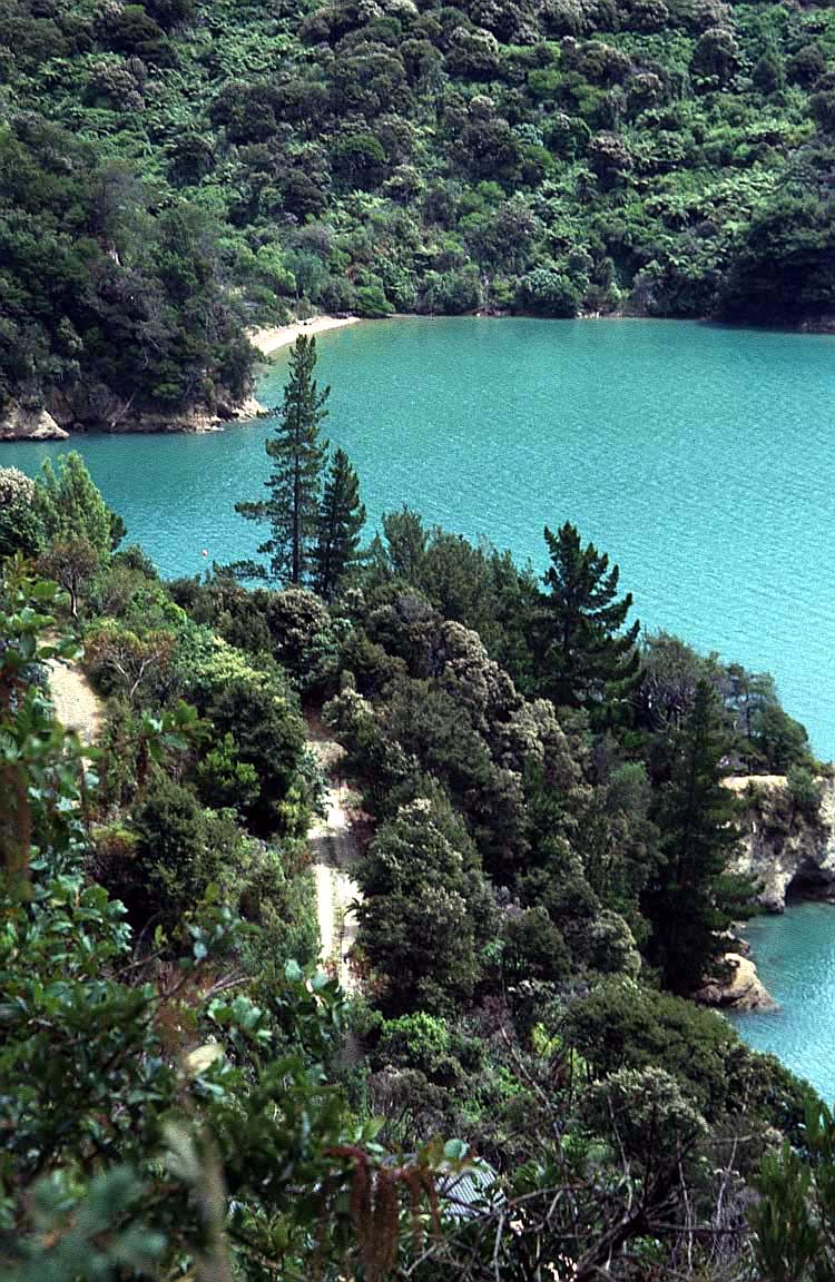
Abel Tasman
National Park in the north east offers a stunning coastline
with opportunities for walking, kayaking and
camping.
Tourist tips: most visitors
land in Auckland and hire a car to drive to Wellington, but
if you can do it the other way round you may get a cheaper
rate as you are returning a car to where it is needed.
Secondly, if you are driving round both islands, most rental
companies require you to leave your car at the port in North
Island, take the ferry with your luggage and pick up a new
car in South Island. Only a few companies allow you to keep
the same car throughout your trip on both islands, which is
much better. |
|
|
|
|
|